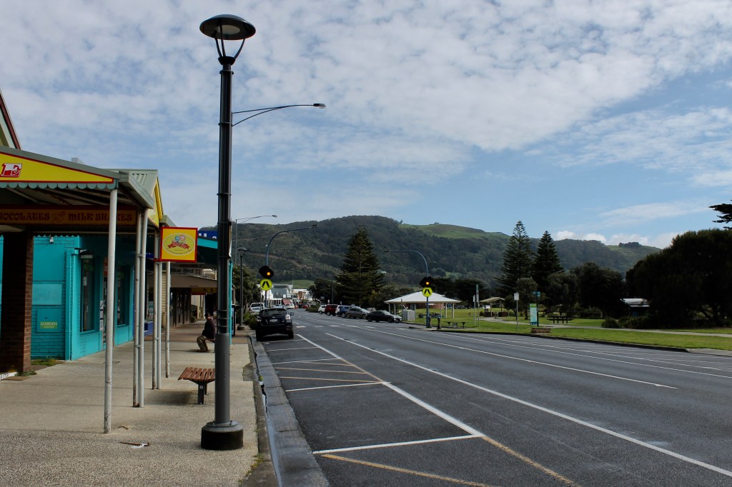
We were greeted with a rainbow over the ocean when we checked into our hotel room in Apollo Bay. It was a good omen because it meant the rain had moved on. Many parts of Australia are in severe drought and some radio reports indicated that there are localities that will exhaust their water supplies by the middle of November. And summer (December to February) is the dry season in Australia. Even with all the rain we have experienced, Victoria as a state only has a water level of only 65% of its storage capacity. So we have been careful with our water use (but we are bathing regularly Lena).
After breakfast along the main street fronting the Apollo Bay beach, we again backtracked some to Cape Otway, the southernmost point of the mainland along the GOR (and the dividing point between the west and east sides of the GOR). The passageway between Cape Otwayand Tasmania is know as the George Strait, which the British kept secret for 30 years between 1770 and 1800 (to the point of drawing in a fake coastline on the maps they published). The straight saved sailing ships from Europe or India over 700 nautical miles (5-6 days) on their journey to Sydney and eastern Australia by not having to go around Tasmania. But it is a notoriously difficult passage for sailing ships (particularly the “Eye of the Needle” between Cape Otway and King Island), so, in 1845, the British made the decision to erect a light station on the point of Cape Otway after hundreds of lives were lost in shipwrecks.
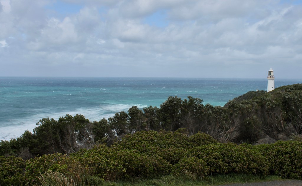
Called Australia’s most significant lighthouse, it, like the GOR, was built in a difficult remote location. But its light could be seen 30 miles away. Because of the preferred passage route for ships from Britain down the middle of the Atlantic and through the Antarctic, it was the “welcome to Australia” sign and the first sight of land since leaving Britain.
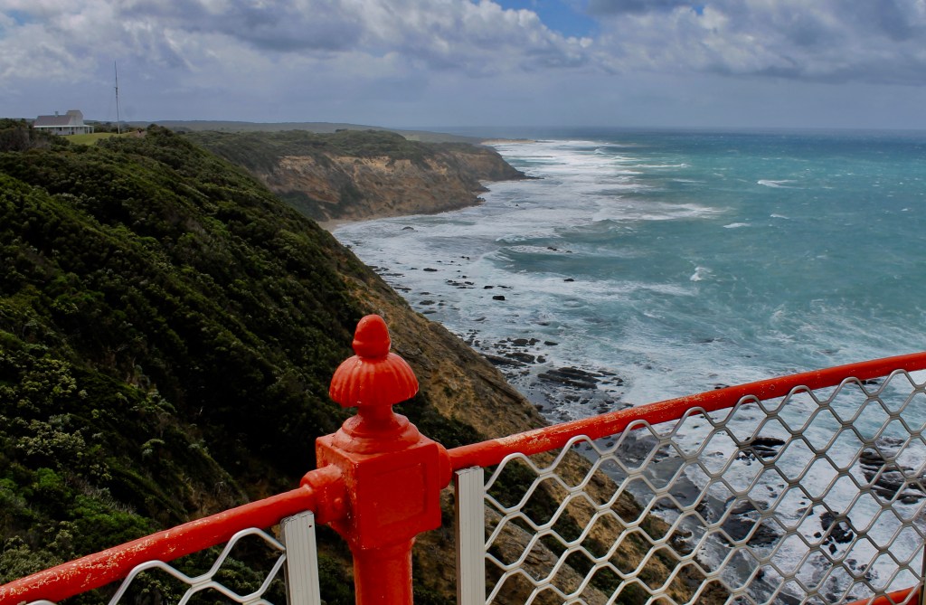
On our visit, the wind at the site was blowing 40 mph at the top of the lighthouse, which you are allowed to climb. I could not (or would not) even venture out to get a photo. This one was taken by leaning out from inside the door facing the mainland. Dawn would not even climb the stairs but she braved trying to walk around the base. Her motion picture of her trip is hilarious as the wind almost knocks her phone from her hand.

So we retreated to the Assistant Lightkeeper’s House (just past this kangaroo sculpture), which is now a cafe, for freshly baked scones and tea. While eating, a storm of rain blew into the park. When it finished raining, we returned to the parking lot (about 1 pm). Not five feet from the front of our rental car, there was a wallaby eating the new grass on the path. Then she stood up and revealed her joey.

And the joey continued to watch us for about five minutes until Mom Wallaby elected to move off and disappear into the bush. We returned to Apollo Bay and began the eastward route to the end of the GOR in Torquay. The western side of the GOR runs along the top of the cliffs to get the best views of where the cliffs have been undermined and separated from the mainland. The eastern side is cut into the cliffs, with spectacular views.

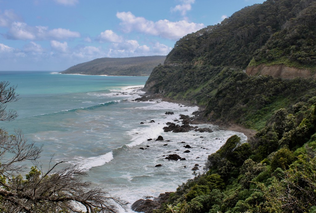
And in a number of the coves and beaches along the road, we saw folks fishing and surfing (like these, a little too close to the rocks for my comfort).

And like at Apollo Bay, when we got just outside of Torquay, the GOR dropped down to the coast and to a broad beach. The surf was considerably smaller. The surfers here complained that is was not a great day, even though it was a Saturday.

PS., Lena, we spent your inheritance on a really nice resort apartment that I chose to split up our trip to the see the penguins on Phillip Island. After four days of single night stays, Mom is ready to be at Phillip Island for a couple of nights. She still holds my hand, so I guess I am safe for now (as long as I keep going to buy TimTams every night).

Leave a comment