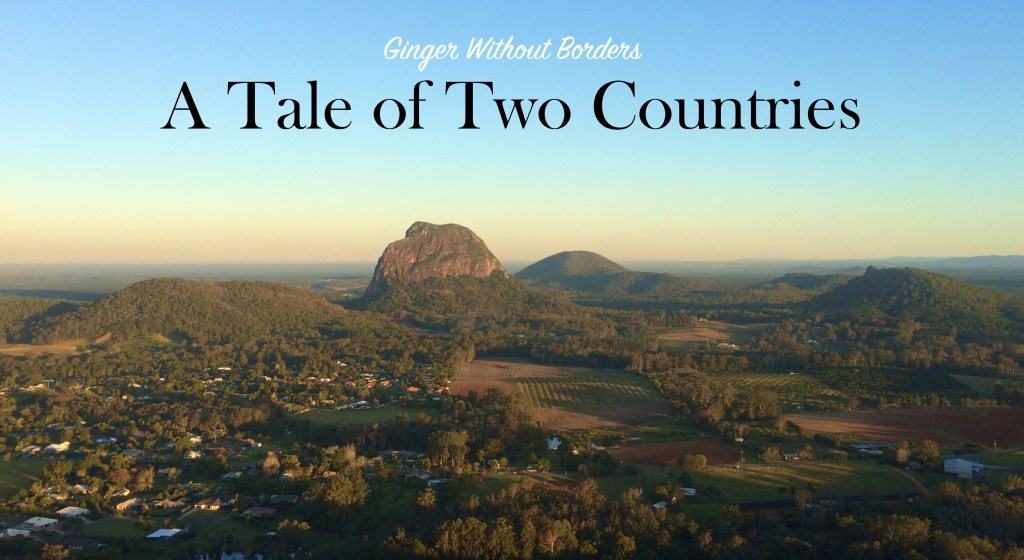
The road trip to Queenstown is the second longest driving trip of our journey and it requires going driving through the Southern Alps in NZ (that is pronounced “in-zed” here because the Brits say zed not ze for the letter Z). They also call Australia “Oz” here. But the weather report promised us blue skies on the eastern slope of the alps, so we bid adieu to the clouds of Franz Joseph and crossed the military’s “temporary” one land bridge over the glacier river one last time.
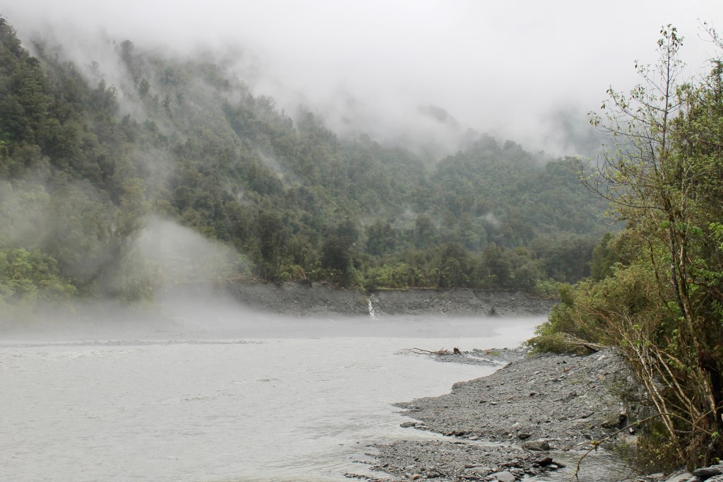
As promised, the clouds lifted up the mountains to reveal blue skys once we passed the Fox glacier about 30 minutes later. We crossed a number of one lane bridges (they call the A6 the Southern Scenic Highway) over numerous streams and we would guess the source if the water was clear (rainfall) or slate gray (glacier). Several of those one lane bridges were so long, they had turnoff lanes in the middle so two vehicles could pass each other at that point (otherwise it was a game of chicken to see who would start onto the bridge first). There were no passing lanes anywhere on the A6, just dotted white center lines to permit passing. There was little traffic, so I only had to pass one tour bus (twice because we turned off to take the picture below).
The road did not rise in elevation and soon we turned toward the coast and ran in view of the ocean waves, just over the sanddunes from sheep feeding in grass fields. As we rose up from the coast, there was a paved turn-off (hint to Australia, try paving some of your turn-offs). It overlooked a point of land known as Arnott Point. While they are only dots on the beach in this picture, that is a colony of elephant seals from Antartica lounging in the sun. They don’t usually arrive until December, so we were lucky to see any (although we could only see these through binoculars).

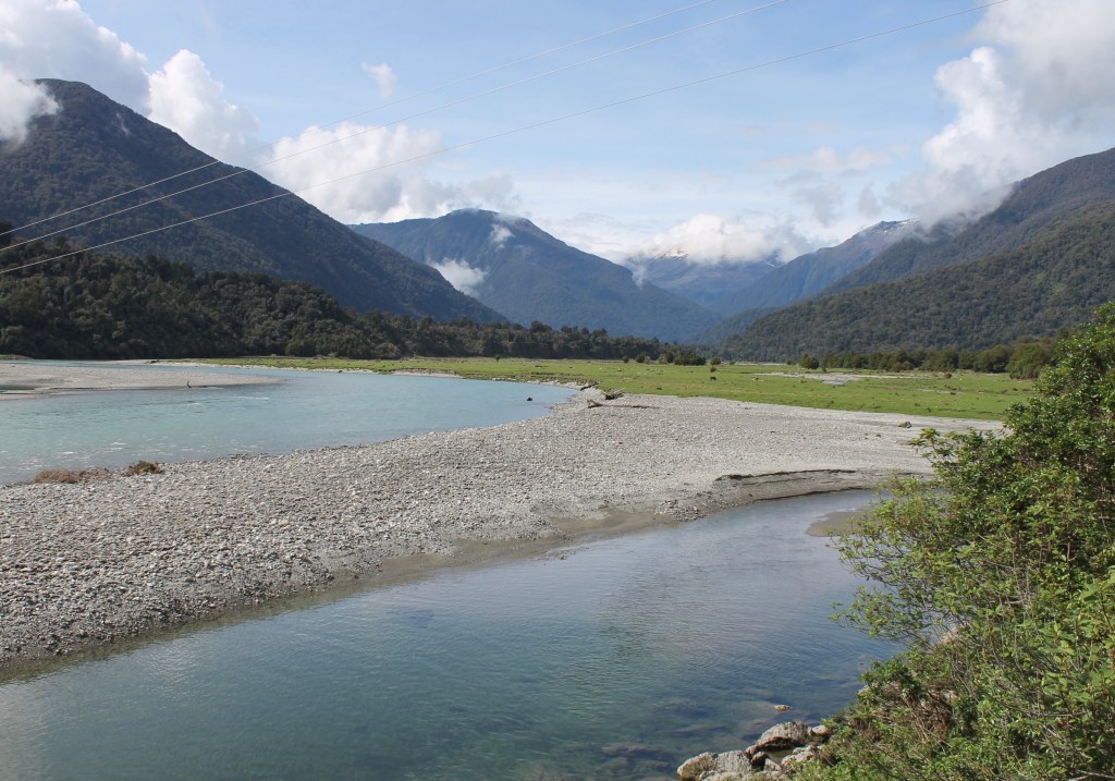
We dropped down to the beach again past the Point until we came to the Hasst River. The A6 (we have been on it since we left the train station in Greymouth – who needs a GPS since there is only one road?) turned inland again and followed the Hasst River up the valley. We were soon between high mountains, some with snow on their upper peaks.
There were also periodically waterfalls and the bigger ones had paved parking lots and hiking trails. The forests at these sites were still lichen and moss filled rain forests with lots of birds.

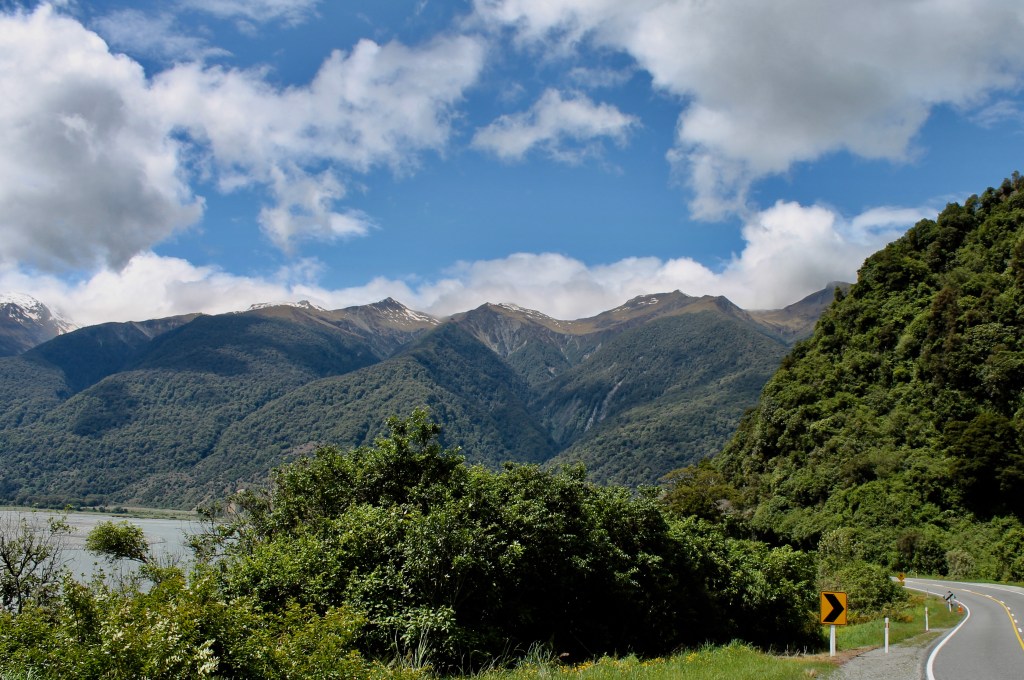
We followed the Hasst River for several hours because it leads to the Hasst Pass at 1,700 feet above sea level, the lowest pass through the Southern Alps of NZ. Once we were on the western side of the Southern Alps, we ran past a number of alpine lakes. The only development along any of them was national park campsites and boat launches until we got to the south end of this lake.
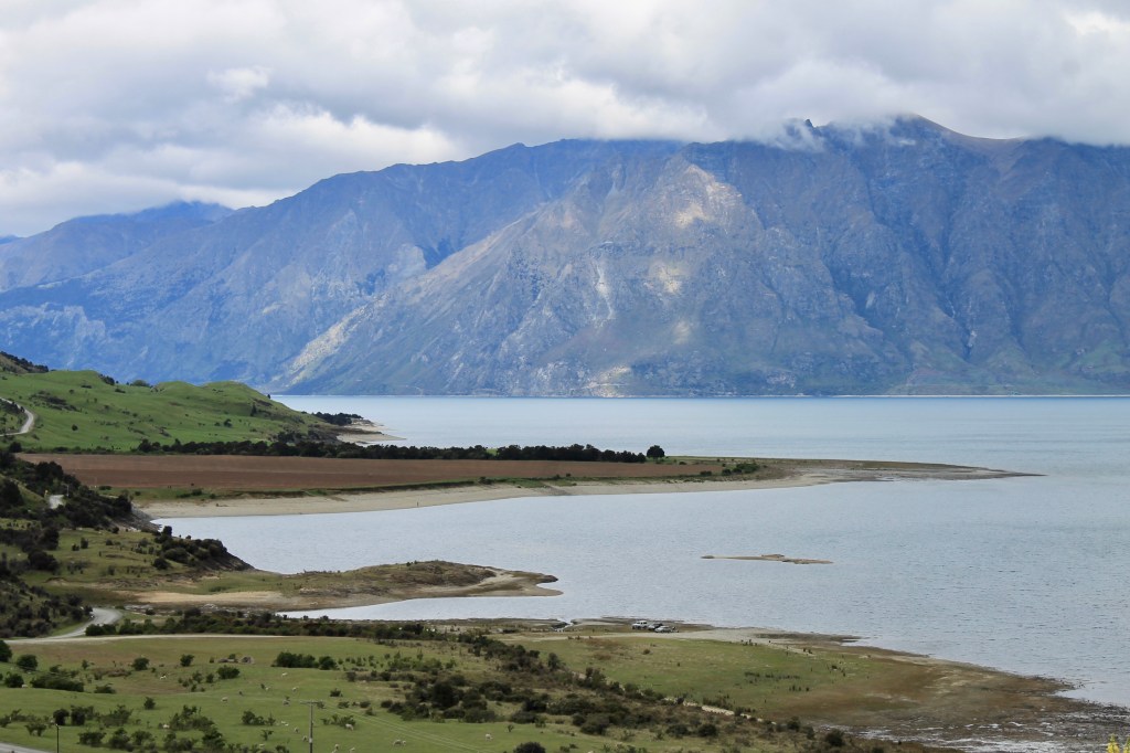
At the southern end of Lake Wanaka, we entered the city limits of Wanaka, the first “town” consisting of more than just a single general store since we left Fox Glacier three and a half hours earlier. We were fortunate there was only one highway because the “lost data connection” sign had appeared on my phone’s GPS regularly while driving along the Haast River.
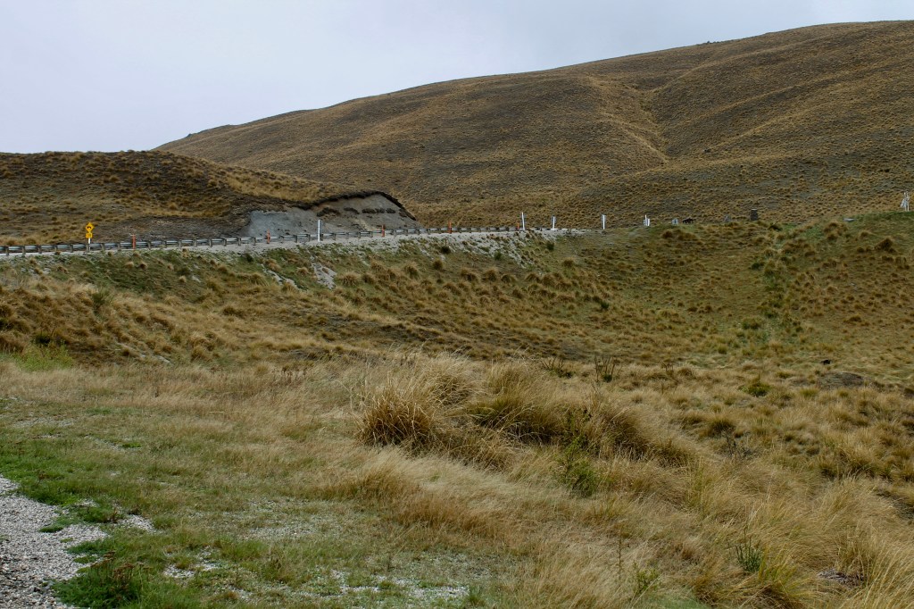
We didn’t even get to go through Wanaka. The GPS directed us off the A6 and into the Cardrona Valley. It was a lovely twisty road through undeveloped bush country.
At the end of the valley, we came around the final turn to find we were atop a ridge leading down to the A6 just 10 miles from Queenstown. The Cardrona Valley detour had cutt off 35 miles and 50 minutes of travel time on the A6. And it was a beautiful shortcut as well.

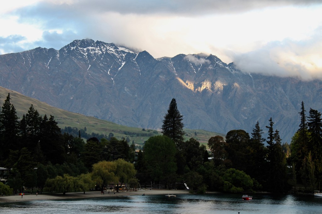
It took six hairpin turns to get us down from this point to the A6 in the valley. And it was a lot of fun because there were no cars in front of me or behind me. As you can tell from this picture, a slight rain had begun to fall as we left the Cardrona Valley, but it cleared to blue skies as we found our hotel on the bay at Queenstown beneath the Remarkables Mountain Range (don’t you just love these names?). The Remarkables and the Applachains are described as the only mountain ranges in the world that run true north and south.
In many ways, the drive to Queenstown was much easier than the Adelaide road trip in Australia even though we were driving on mountain roads. Because we never went higher than 1,700 feet, the road was mostly easy bends with some straightaways where you could pass a slower vehicle. And there were frequent opportunities (mostly paved) to pull off the road and stretch your legs to take pictures and visit the many public restrooms. Since I was not really tired, while Dawn decided to take a nap, I walked around town and searched out a good spot to eat dinner.
PS., Lena we have no prearranged plans for Queenstown, so I am not sure how we will spend your inheritance here. Mom is already asleep, so I am good another day.

Leave a comment